The Piri Reis Map is a diabolically vexing historical artifact mainstream historians jump through hoops attempting to debunk. Still, their reviled outlooks have only stoked the flames of interest concerning this anomalous piece of history. The reality tunnels of establishment powers have no room for such a map to exist. Yet, exist it does.
In 1929, a theologian named Gustav Adolf Deissmann organized precious relics in the capital of what was once the Byzantine Empire of Rome. As the native-born German was categorizing the library, he stumbled upon a curious parchment that defied the established canon of reality. The Piri Reis Map instantly intrigued the theologian, but he had no clue how much controversy his discovery would produce over the coming years. Despite half of the map missing, the accurate depictions of coastlines astonished the modern world.
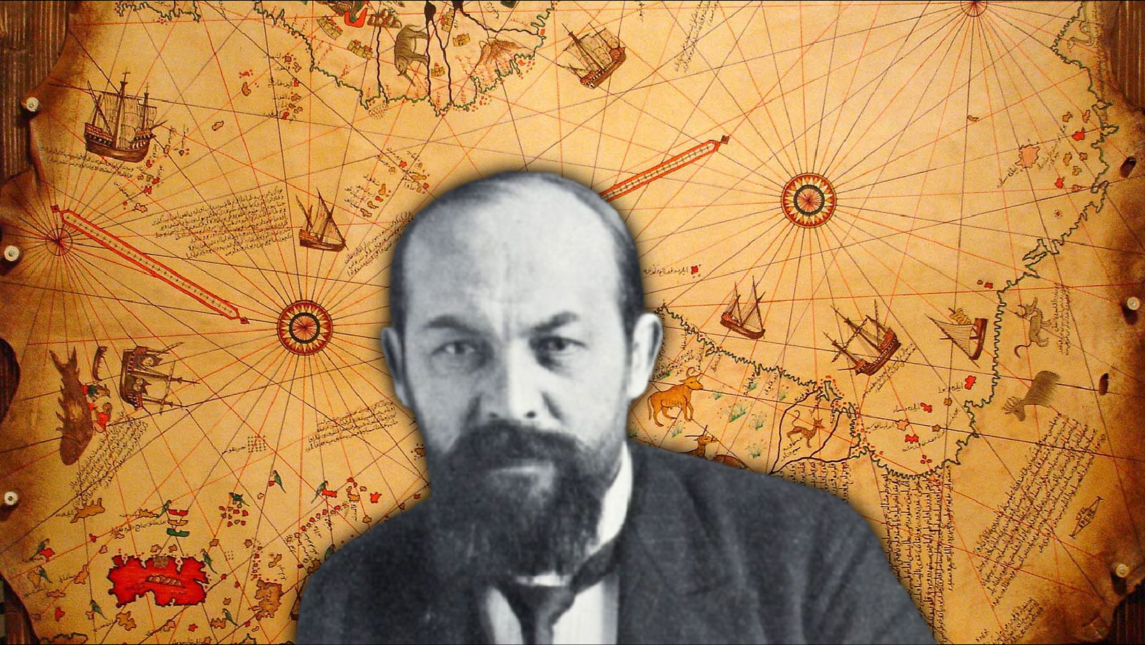
Gustav Adolf Deissmann
The map was created by Hagji Ahmed Muhiddin Piri, who in the 1500s was an admiral for the Turkish navy and a cartographer in his own right. But he didn’t create the map based on his own vast experience as a sailor. It was drawn out utilizing several source maps. Twenty, in fact. Including one he claimed to belong to, Christopher Columbus himself. Also, Portuguese, Arabic, Greek, and Alexander the Great era Ptolemaic cartography. Speculation suggests maps from earlier centuries/millennia had a part to play in Piri’s work that has been lost to time.
Now, there are a decent amount of reasons the Piri Reis Map is so notorious, but one of the main contentions is the existence of Antarctica on the map three hundred years before its discovery. But not only does it show Antarctica, it immediately starts to give off an Atlantis-type vibe because it shows a map of the landmass of Antarctica how it was before it became covered in ice over six thousand years ago. However, it also shows the coastline of America (or Northern Africa), which had not been mapped in detail back in 1513.
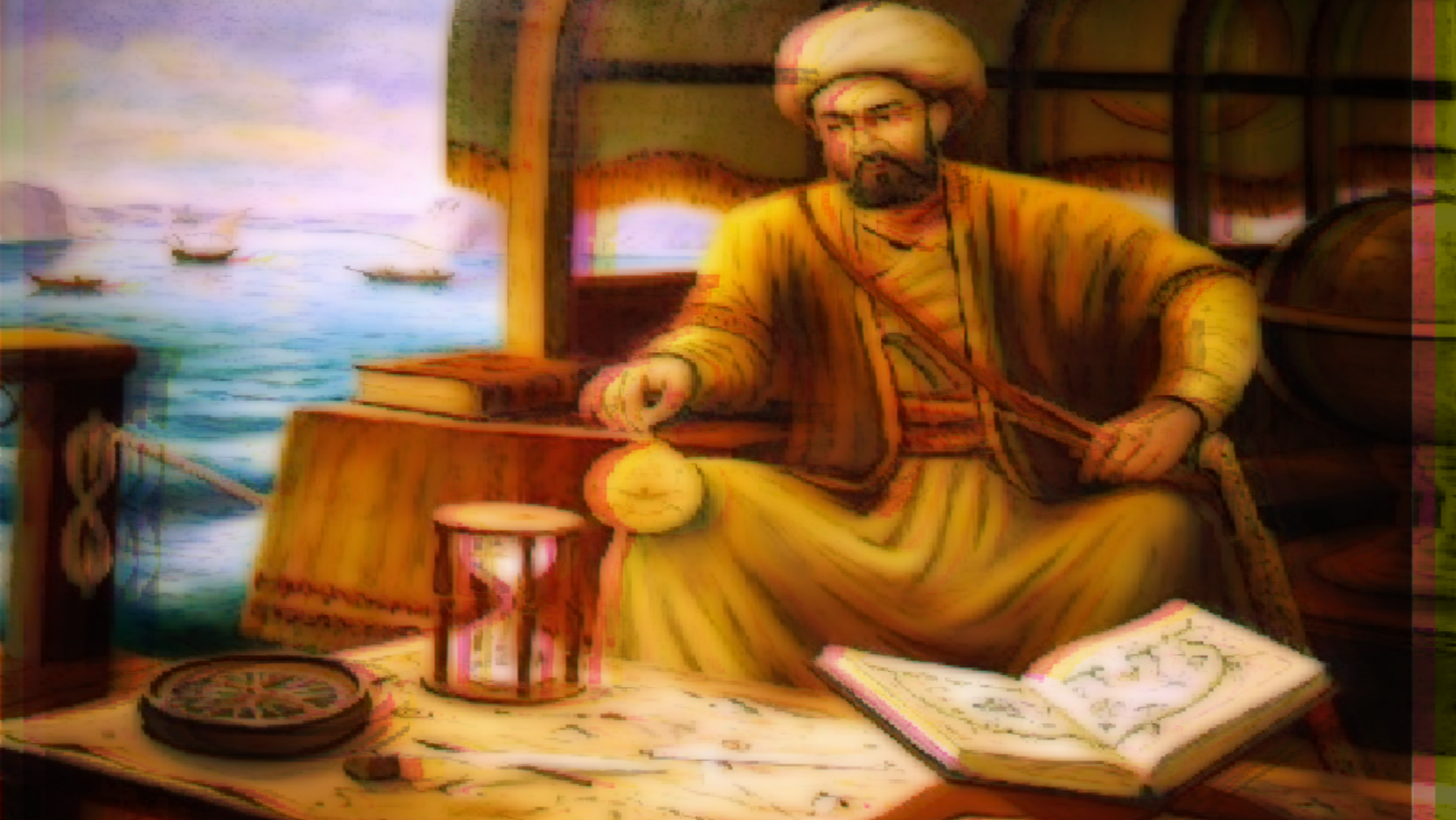
Hagji Ahmed Muhiddin Piri
The key factors to take away from the Piri Reis Map are:
- The references Piri used to create the map utilized spherical geometry with a globe Earth as the basis. The references understood both the North and South poles. Knew of the equator, which would have been necessary to perform the calculations resulting in the map.
- It is pre-Columbian, showing connections to a pre-Greek Earth, and could have information from the earliest maps in the history of humanity.
- The map has a perfect center with the longitude of Alexandria and the 23.5 degrees parallel of the Tropic of Cancer, which seems impossible without more modern knowledge.
- The map accurately shows the coast of America (North Africa). Whether it represents North Africa as some say or America as others say, it’s still a spectacular feat considering the era of the map’s creation.
- It has perfect Longitude and Latitude converted to fit a two-dimensional paper map, which is mathematically highly unlikely. When Piri drew it out, the world did not have the astronomical/mathematical advancement to calculate longitude accurately.
- All other contemporary maps of the time and well into the later centuries reveal the sheer level of ignorance concerning global cartography—a level of ignorance that is non-existent in the Piri Map.
- The map shows an accurate coastline of Antarctica despite it being covered in massive amounts of ice and no historical record ever mentioning the Continent being explored. How could there be maps of continents people didn’t even know existed?
All of these things should be impossible to produce in the 1500s. The ancient Chinese and Near East also had high levels of knowledge in astronomy and geometry going back as far as 1092 AD. Still, even these cultures existed long after the classical Greek age and pre-Greek origins of the maps used to create the Piri Map. The mathematics required to make it absolutely existed in Greece thanks to Pythagoras and others, but if they had such knowledge of Earth, why is Antarctica and the Americas not referenced by ancient scholars? Is it possible advanced cultures with modern knowledge have been lost to time?
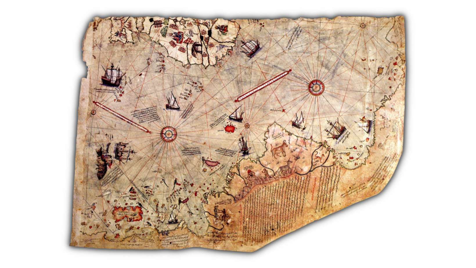
The Map
The modern form of humanity forged by Natural Selection has existed for three-hundred-thousand years or more. This has been a relatively recent paradigm shift thanks to the discovery of Homosapien Sapien skeletons in Morroco dating back that far that’s yet to reach wide-ranging common knowledge. But most people don’t realize just HOW long three hundred thousand years really is. Researchers of the Piri Reis Map suggest the valid possibility of a worldwide civilization existing many thousands of years before ancient Egypt. Pole shifts, climate changes, and other global geological chaos are more than capable of burying human cultures without a trace.
[the_ad_placement id=”manual-2″]
With the study of Deep Time and an understanding of just how ancient we humans truly are, there’s a high chance we’ve “played this game before,” and humanity has had to endure a reset of civilization.
How many civilizations have come and gone we know nothing about?
One of the most renowned researchers on the topic, Charles H. Hapgood, believes it’s possible the people responsible for the map could have lived before the last Ice Age. The earliest contributors to the map come from when Alaska was still connected to Siberia by a land bridge that sank when the oceans rose in the Northern Hemisphere.
Anyway, the dogmatic mainstream herd is driven crazy by this map, which is always awesome. Some try to say parts of the map are the coast of Africa, which is possible but doesn’t exclude the existence of the Canary Islands, Japan, and Antillia that exist on the map as well. Denying the anomalous qualities of the map is just “The Machine,” beating down people who don’t bow to establishment institutions with a monopoly on power and telling others what IS or IS NOT reality: money, power, influence, the same old story. Luckily history proves these establishment oppressors are universally wrong repeatedly over time, and the mysteries will never be silenced. If anything, though, the Piri Reis Map shows that the world was being explored on a global level far earlier than we would have ever thought possible.


0 Comments